
Projects That
Deliver Results
Explore a selection of our geophysical and surveying projects delivered with accuracy, reliability and professionalism across Saudi Arabia.
 MASW
MASW
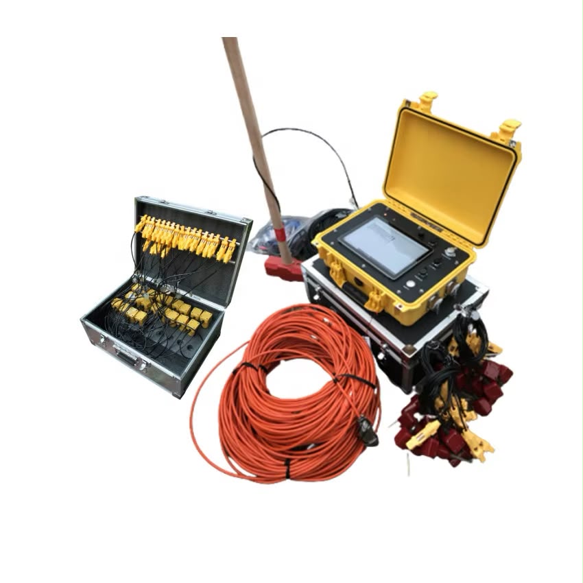
MASW System
Advanced surface wave analysis system used to determine shear wave velocity profiles and evaluate subsurface geotechnical properties.
MASW System
Multichannel Analysis of Surface Waves
MASW is a non-invasive geophysical technique used to determine shear wave velocity profiles of the subsurface. It supports soil and rock stiffness evaluation, foundation design, seismic site classification and geotechnical assessment.
GPR
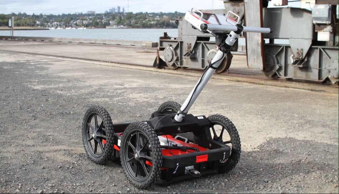
MALA Pro GPR
Advanced ground penetrating radar system for detecting underground utilities and mapping subsurface features.
MALA Pro GPR
Ground Penetrating Radar System
Advanced non-destructive GPR technology for detecting and mapping underground utilities and subsurface features to support safer excavation, construction and site investigation.
 ERT
ERT
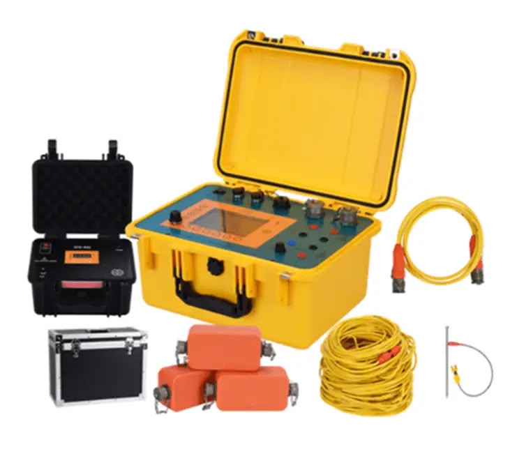
ERT System
Advanced electrical resistivity investigation for imaging subsurface conditions and identifying geological structures, groundwater zones and underground anomalies.
ERT System
Electrical Resistivity Tomography
ERT is a non-invasive geophysical method that measures variations in electrical resistivity to create detailed images of subsurface conditions. It can support geological investigations, groundwater studies, cavity detection and engineering site assessment.
 SURVEYING
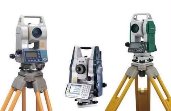
Surveying Equipment
Professional surveying equipment used for accurate site positioning, topographic mapping and construction survey applications.
Surveying Equipment
Precision Site Surveying
Professional surveying systems provide accurate positioning and site measurements to support engineering, infrastructure and construction projects.